
Directional Drilling in Douglas, Wyoming
Directional drilling and MWD/LWD in Converse County, where Geo Mag lists horizontal wells drilled past 14,800 ft measured depth.
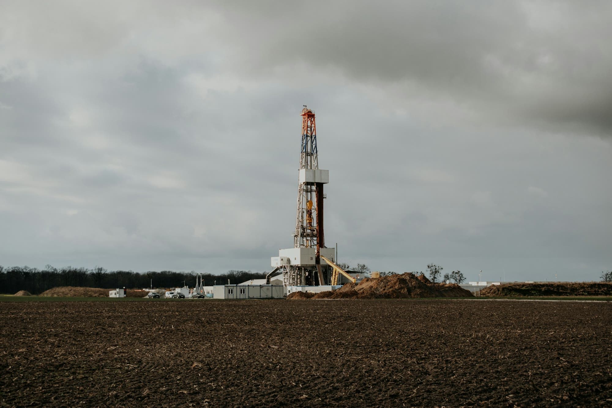
Geo Mag Technologies provides directional drilling services in Douglas, Wyoming and the rest of Converse County. Of the twenty markets on this site, Douglas is one where Geo Mag's own record is most direct: its company presentation lists two horizontal wells for Samson Resources in Converse County, drilled at average hole angles above 90 degrees to measured depths of about 14,800 ft.
Geo Mag supplies the mud motors, MWD tool and complete bottom hole assembly needed to drill a deviated well and provides well planning and technical consulting. It is based in Broussard, Louisiana, and mobilizes anywhere in the United States.
- Region
- Powder River Basin
- County
- Converse County, Wyoming
- Coverage
- Available for projects anywhere in the United States
- Mobilizes from
- Broussard, Louisiana
- Availability
- 24 Hours
- Documented wells
- Listed below, from the company presentation
At a glance
Documented field experience in Converse County
Horizontal wells listed in the Geo Mag company presentation, with operator, location, average hole angle and measured depth.
Both wells are documented in Converse County, of which Douglas is the county seat. The Geo Mag company presentation lists them without dates.
| Well | Operator | Location | Avg. angle (deg) | Measured depth (ft) |
|---|---|---|---|---|
| BR Federal Resources | Samson Resources | Converse County, WY | 93.4 | 14,836 |
| DCR State #21-16H | Samson Resources | Converse County, WY | 96 | 14,825 |
SourceWells as listed in the Geo Mag company presentation. Dates are not stated.
The southern Powder River Basin
Converse County is the southern end of the Powder River Basin's horizontal oil development. Douglas is the county seat, and the drilling runs north and west of it toward Bill and Wright and east toward Niobrara County. The horizontal targets are the same Cretaceous stack found further north: Turner, Parkman, Teapot, Sussex, Shannon, Niobrara and Mowry among them.
The county is also where the basin meets the North Platte valley and the Laramie Range, so surface locations, pad access and seasonal conditions shape when and how wells are drilled. The well plan absorbs those constraints before the rig arrives.
SourceRegional geology and development patterns are general public information about the basin, not Geo Mag claims. Geo Mag statements and manufacturer figures are attributed on the Technology page.
What Geo Mag ran on its Converse County wells
The two Converse County wells in Geo Mag's presentation were drilled to 14,836 ft and 14,825 ft measured depth at average hole angles of 93.4 and 96 degrees. Geo Mag supplies Bico and Tomahawk mud motors, RSS, Key Drill drilling systems and complete BHA packages, steered on company-owned positive-pulse MWD tools.
The same string carries gamma and can carry wave propagation resistivity for geosteering and pressure-while-drilling for real-time ECD. Surveys are decoded by the KeyDrill KDU-Mini and logged in Polaris, with WITS and WITSML delivery to the rig and the operator.
Drilling systems: Bico and Tomahawk mud motors / RSS / Key Drill drilling systems / Complete bottom hole assembly (BHA) packages.
Full directional drilling serviceAll systems and specifications
Systems relevant to this region
Positive-pulse MWD tool
Directional, gamma and resistivity configurations
The MWD tool is the instrument that tells the directional driller where the bit is and where it is heading. Survey and tool-face data come up the mud column as pressure pulses, so the trajectory can be corrected while drilling instead of after a trip.
Wave propagation resistivity (WPR) sub
Geosteering, correlation and wireline replacement
Propagation resistivity reads the formation around the bit in real time, so a lateral can be steered to stay in the target zone and casing points can be picked without waiting on a wireline run.
KeyDrill KDU-Mini decoding unit
Mud-pulse decoding at the rig floor
Every survey depends on the surface receiver separating a small pressure pulse from pump noise. Deeper wells and PDC bits distort the signal; the lower the pulse a decoder can resolve, the more of the well it can survey reliably.
SourceSystem roles from the Technology page; Geo Mag statements and manufacturer specifications are attributed there.
Areas served around Douglas
Geo Mag is available for directional drilling projects throughout Converse County and the southern Powder River Basin, including work staged from:
- Glenrock
- Casper
- Bill
- Wright
- Lusk
- Natrona County
- Niobrara County
- Campbell County
Nearby service areas
SourceCoverage statement from the Geo Mag questionnaire: available anywhere in the United States; travel distance is not a limiting factor. Places listed are areas Geo Mag is available to work in, not offices or completed projects.
Directional drilling questions for Douglas
The BR Federal Resources well (93.4 degrees average angle, 14,836 ft measured depth) and the DCR State #21-16H (96 degrees, 14,825 ft), both for Samson Resources, as listed in the Geo Mag company presentation. Dates are not stated.
Discuss a Douglas drilling project.
Call or text (337) 278-4607, 24 hours. Or send a message through the contact form.