Directional Drilling in Dickinson, North Dakota
Directional tools and MWD support for wells drilled from the southern gateway to the Bakken.
Geo Mag Technologies provides directional drilling services for operators working from Dickinson, North Dakota. Dickinson is the southern gateway to the Bakken on Interstate 94, and rigs supplied from here run north into Dunn, Billings and McKenzie counties as well as in Stark County itself.
Geo Mag supplies the mud motors, MWD tool and complete bottom hole assembly needed to drill a deviated well and provides well planning and technical consulting. Its documented Williston Basin experience is in Divide County, at the far north of the basin, and is noted below. It mobilizes from Broussard, Louisiana.
- Region
- Williston Basin (southern Bakken)
- County
- Stark County, North Dakota
- Coverage
- Available for projects anywhere in the United States
- Mobilizes from
- Broussard, Louisiana
- Availability
- 24 Hours
- Documented wells
- Regional experience noted below; none in this county
At a glance
Regional field experience
Geo Mag's documented North Dakota field experience is in Divide County, at the northern end of the Williston Basin: horizontal wells for Samson Resources listed in the company presentation, which does not state dates. None of them is in Dickinson or Stark County.
The southern Williston Basin
The Stark County area has its own history: the Dickinson field was found in the 1950s, and modern horizontal development of the Bakken and Three Forks runs through the counties immediately north. The Little Missouri badlands and the Theodore Roosevelt National Park boundary make surface access and pad placement a real constraint in Billings and McKenzie counties, which pushes more of the work into the directional plan.
Laterals remain long and targets remain thin across the southern basin. The same requirements apply as further north: accurate surveys, real-time gamma and resistivity to hold the zone, and a data feed to the office.
SourceRegional geology and development patterns are general public information about the basin, not Geo Mag claims. Geo Mag statements and manufacturer figures are attributed on the Technology page.
Geo Mag capabilities for Dickinson-area wells
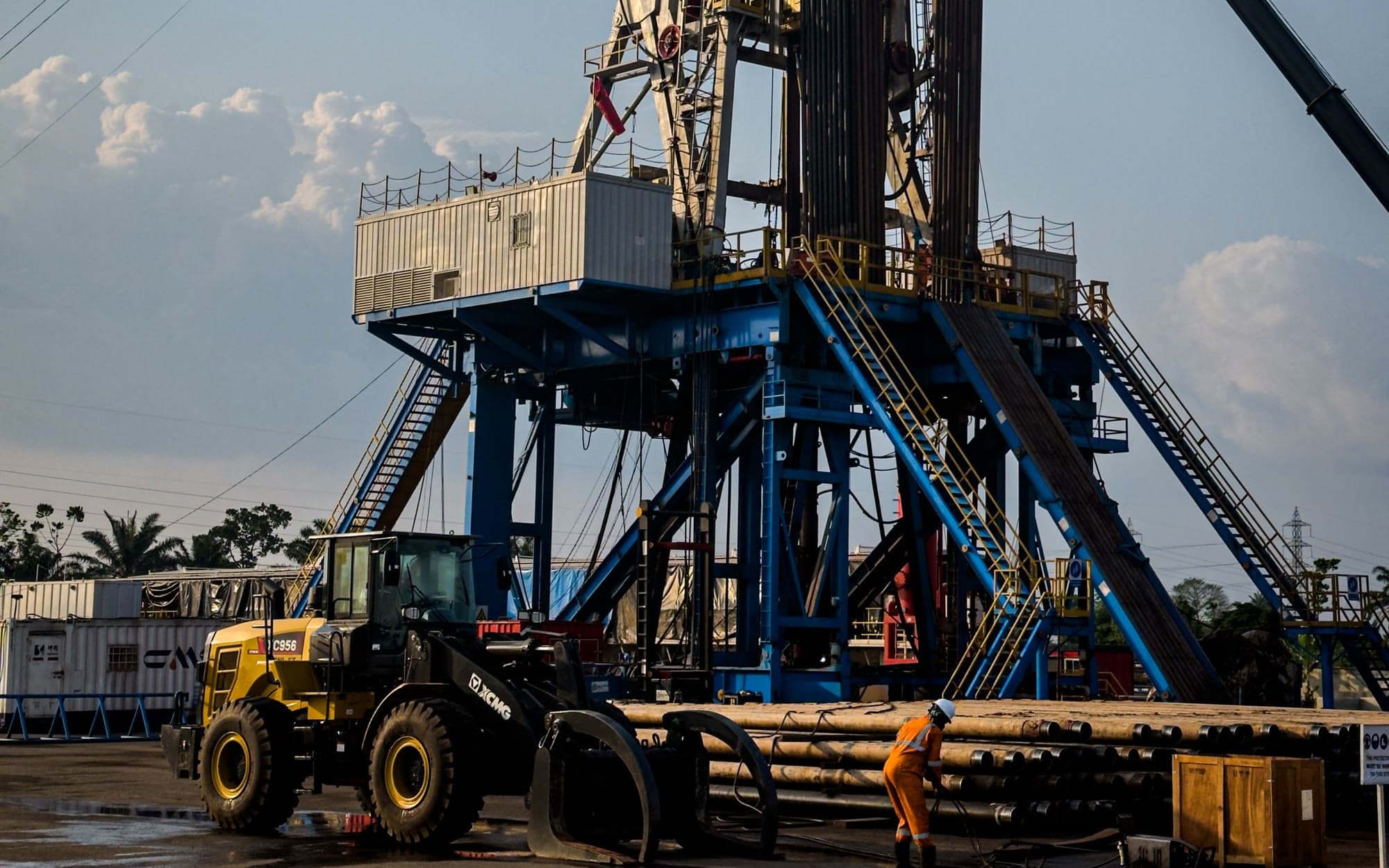
Geo Mag provides pre-drill trajectory design that accounts for the target and offset wells, which matters where the surface location cannot sit directly over the target. It drills with Bico and Tomahawk mud motors, RSS, Key Drill drilling systems and complete BHA packages, steered on company-owned positive-pulse MWD tools.
The wave propagation resistivity sub supports geosteering in water-based and oil-based mud, and Polaris logs the data with WITSML synchronization to the operator's server. On the Divide County wells Geo Mag lists, average hole angles ran between 91 and 93.3 degrees.
Drilling systems: Bico and Tomahawk mud motors / RSS / Key Drill drilling systems / Complete bottom hole assembly (BHA) packages.
Full directional drilling serviceAll systems and specifications
Systems relevant to this region
Positive-pulse MWD tool
Directional, gamma and resistivity configurations
The MWD tool is the instrument that tells the directional driller where the bit is and where it is heading. Survey and tool-face data come up the mud column as pressure pulses, so the trajectory can be corrected while drilling instead of after a trip.
Wave propagation resistivity (WPR) sub
Geosteering, correlation and wireline replacement
Propagation resistivity reads the formation around the bit in real time, so a lateral can be steered to stay in the target zone and casing points can be picked without waiting on a wireline run.
Polaris RDS logging system
Gamma and directional data logging with remote monitoring
The logging system is where surveys, gamma and drilling parameters become the well record: plots, LAS files and reports the operator keeps, and a live feed the office can watch without being on location.
SourceSystem roles from the Technology page; Geo Mag statements and manufacturer specifications are attributed there.
Areas served around Dickinson
Geo Mag is available for directional drilling projects across the southern Williston Basin, including work staged from:
- Belfield
- Killdeer
- Halliday
- Medora
- Watford City
- New Town
- Dunn County
- Billings County
- Golden Valley County
- McKenzie County
- Bowman County
Nearby service areas
SourceCoverage statement from the Geo Mag questionnaire: available anywhere in the United States; travel distance is not a limiting factor. Places listed are areas Geo Mag is available to work in, not offices or completed projects.
Directional drilling questions for Dickinson
Yes. Dickinson and the southern Williston Basin are within Geo Mag's nationwide coverage. Tools and personnel mobilize from Broussard, Louisiana.
Discuss a Dickinson drilling project.
Call or text (337) 278-4607, 24 hours. Or send a message through the contact form.